 0
0
Nepal Floods 2026: What Happened from August to October, and Is It Safe to Travel Now?
Hundreds of families in Nepal and Tibet, and many travellers and pilgrims from India and other countries, lost loved ones in the August floods. This report aims to help people travel safely and to separate verified information from rumour. The situation continues to change, so please check the latest status before you book or fly.
The short answer
Timeline: August, September and October
August: the Langtang–Trishuli disaster
On 26 August 2026 a large section of ice and rock collapsed near Langtang Lirung, close to the Tibet border. The resulting flood of water, mud and debris travelled down the Bhote Koshi and Trishuli valleys, reaching Rasuwa, Nuwakot and Dhading districts and the Rasuwagadhi–Gyirong border crossing. Roads and dozens of bridges were destroyed, and hydropower projects and villages were damaged.
- Officials and media have reported more than 1,300 people killed (one recent report gives 1,457) and thousands missing. Figures differ between sources and have changed over time.
- The missing included hundreds of foreign nationals, among them pilgrims travelling to Kailash. Contemporary reports listed close to 300 Indians among them.
- Nepal declared a national day of mourning on 7 September and a three-month disaster period for the affected area.
September: further rain and the Manaslu flood
- 4 September: the United States kept Nepal at Level 2: Exercise Increased Caution but designated the Rasuwagadhi–Timure–Syafrubesi area Level 4: Do Not Travel.
- 6 September: Nepal asked other countries to confine their travel advisories to the flood-hit areas, stating that the rest of the country remained open. The same day, flooding on the Budhi Gandaki and Therang rivers in the Manaslu area washed away two bridges and stranded trekkers heading for Larkya Pass. Authorities banned travel on the Manaslu trail until further notice.
- 24–27 September: four days of heavy rain caused floods and landslides across the country, and officials reported 21 deaths. Jajarkot, Myagdi and Sankhuwasabha were among the worst-affected districts, a landslide struck Baglung, an avalanche hit Manang, and highways to Chitwan were blocked in several places. About 9,000 foreign tourists and trekkers were in Nepal at the time.
October: the Gorkha flood
On 10–11 October (reports differ on the exact day) a landslide dammed the Budhi Gandaki river near Chumnubri village in Gorkha district, in the Manaslu region. The blockage then gave way and flooded the valley downstream, sweeping away about a dozen houses, trails, two suspension bridges and a highway bridge linking Gorkha and Dhading, and damaging three hydropower plants.
- Authorities reported rescuing 96 people, including nine foreigners. No deaths were reported from this flood, and five villagers were out of contact.
- An official of the Manaslu Conservation Area Project said more than 100 foreign trekkers were stranded in different places because parts of the trail were washed away. The army said on Monday 12 October that rescue operations were continuing although the water had receded.
- The same official said teahouses along the route were safe. This is another reason to stay off the Manaslu trail until the authorities reopen it.
| Date (2026) | Event | Main areas |
|---|---|---|
| 26 Aug | Glacier and rock collapse triggers a flash flood | Langtang, Rasuwa, Trishuli, Rasuwagadhi border |
| 28 Aug | China suspends new border permits for the Gyirong area; Kailash via Nepal halted | Rasuwagadhi–Kerung |
| 6 Sep | Manaslu trail flooded and closed; bridges washed away | Gorkha (Budhi Gandaki) |
| 24–27 Sep | Heavy rain; 21 deaths reported | Jajarkot, Myagdi, Sankhuwasabha, Baglung, Manang, Chitwan routes |
| 10–11 Oct | Landslide-dam flood; 96 rescued, 100+ trekkers stranded, five villagers out of contact | Chumnubri, Gorkha |
What is open, what needs care, what to avoid
The table below reflects reports up to 15 October 2026. Conditions change quickly, so confirm with us or your operator before travelling.
| Area | Status | Notes |
|---|---|---|
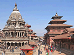
| Kathmandu Valley | Open | Not directly affected. Flights are operating. |
| Pokhara | Open | Not directly affected. Check the road from Kathmandu for delays. |
| Lumbini, Janakpur | Open | Reported open. |
| Muktinath (Mustang) | Open | Reported open. Check the weather for flights, jeeps and helicopters. |
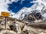
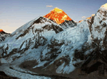
| Everest region | Open | Not directly affected. Mountain flights depend on weather. |
| Annapurna region (ABC, Poon Hill, Mardi, Manang) | Open, with care | Myagdi, which includes the Ghorepani–Poon Hill area, was among the worst-hit districts in late September. Confirm trail and road conditions before booking. |
| Chitwan and Bardia | Open, with care | Highways to Chitwan were blocked at points in late September and the Narayani river rose above its danger level. Check on the day. |
| Langtang and Gosaikunda | Avoid | Access roads and bridges were destroyed. |
| Manaslu circuit and Larkya Pass | Avoid | Trail closed since 6 September; a further flood occurred on 10–11 October with 100+ trekkers stranded. |
| Rasuwa, Syabrubesi, Trishuli corridor | Avoid | US Level 4: Do Not Travel for the Rasuwagadhi–Timure–Syafrubesi area. |
Kailash Mansarovar and other pilgrimages
The Kailash Mansarovar Yatra via Nepal was the hardest hit, because most overland groups cross at Rasuwagadhi–Kerung, the border point damaged by the flood.
- China suspended new permits for the Gyirong area on 28 August, and operators were advised that existing permit holders should not travel until further notice.
- The season normally runs until mid-October, so many 2026 departures have been postponed or cancelled.
- Other routes depend on Chinese permits and local conditions. Please ask us for the latest position before planning anything for 2027.
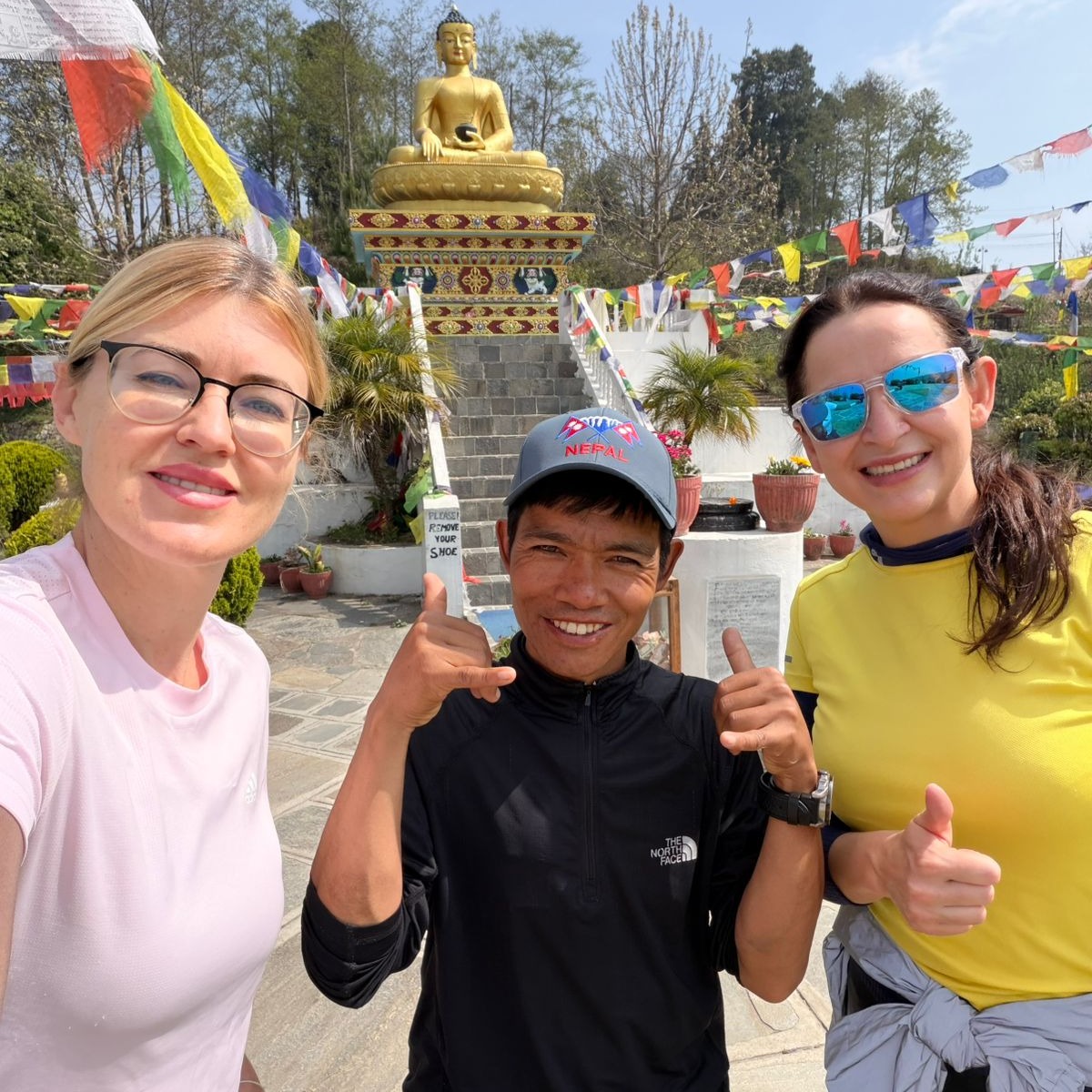
Other pilgrimage destinations, including Muktinath, Pashupatinath, Janakpur and Lumbini, have been reported open. Our Kailash Mansarovar page carries updates.
Trekking after the floods
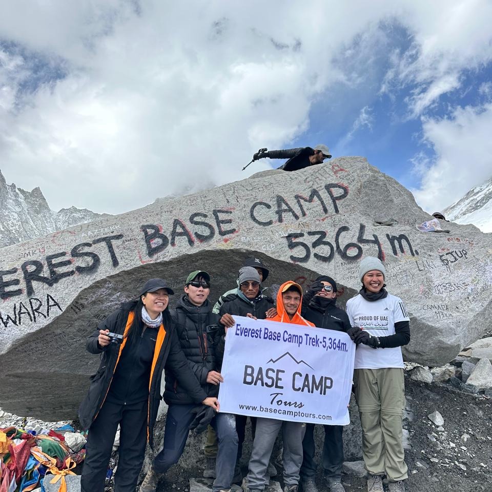
- Everest Base Camp: reported open. Allow spare days for Lukla flights.
- Annapurna Base Camp and Poon Hill: reported open, but confirm trail and road conditions first, especially in Myagdi.
- Langtang, Gosaikunda and Manaslu: avoid for now. If you were planning one of these, ask about alternatives rather than waiting for a reopening date that nobody can guarantee.
Heavy rain and floods can leave weakened slopes, damaged bridges and unstable riverbanks even after the weather clears. Use registered operators and licensed guides, avoid camping near rivers, and turn back when conditions look wrong.
Planning your trip now
- Choose open regions. The Kathmandu–Pokhara–Chitwan circuit, Muktinath and the Everest region are the lowest-disruption options at present.
- Travel in the drier window. Late October to November is usually more stable than September, although landslide debris may remain. Keep your dates flexible.
- Add buffer days. Allow at least one spare day for road or flight delays and avoid tight onward connections.
- Avoid river corridors and the worst-hit areas listed above.
- Monitor weather advisories. The Nepal Tourism Board issues alerts before heavy rain. Postpone high-altitude or riverside plans on warning days.
- Buy suitable insurance covering natural disasters, trip changes and medical evacuation at your maximum altitude, and read the exclusions.
- Share your itinerary with your hotel or operator and with family.
If you are travelling from India
- Carry a passport or original Voter ID. Aadhaar alone is not reliably accepted.
- Road journeys from Gorakhpur, Raxaul and Sonauli to Kathmandu and Pokhara can suffer rain delays. Leave early and avoid night driving.
- For seniors and families, a short flight or helicopter option can reduce time on damaged or slow roads, though both depend on weather.
Our Nepal safety guide for Indian tourists covers ID, currency and family advice in full.
Already booked? What to do
- Contact your operator first. Ask which parts of your plan are affected and what alternatives exist.
- Request changes in writing: new dates, a different route, or credit toward later travel.
- Review your insurance for cancellation, natural-disaster and government-advisory clauses. Refunds are not automatic unless a government advises against travel to your destination.
- Ask airlines and hotels directly about their change policies.
How to help
If you wish to support relief efforts, donate only through verified official channels, such as the Prime Minister’s Disaster Relief Fund or the Nepal Red Cross. Be cautious about unverified bank details or personal QR codes shared on social media. Returning to Nepal as a respectful visitor also supports the local families who depend on tourism.
Frequently asked questions
Is it safe to travel to Nepal after the floods?
Most main destinations have been reported open, including Kathmandu, Pokhara, Muktinath and the Everest region. Some areas, such as Langtang, Gosaikunda, Manaslu and the Rasuwa border corridor, should be avoided. Check conditions with your operator before booking.
Which areas of Nepal were affected by the 2026 floods?
The worst damage was in Rasuwa, Nuwakot and Dhading along the Bhote Koshi and Trishuli valleys (26 August). Later floods and landslides struck Gorkha in the Manaslu area in September and October, and heavy rain in late September affected districts including Jajarkot, Myagdi, Sankhuwasabha and Baglung.
Is the Kailash Mansarovar Yatra running via Nepal?
The Rasuwagadhi–Kerung route was halted after the floods and new permits were suspended. Ask us for the latest status and options for 2027.
Is Muktinath open?
Muktinath has been reported open. Check the weather for flights, jeeps and helicopters before travel.
Are the Everest Base Camp and Annapurna treks safe?
Everest was not directly affected and Annapurna routes have been reported open, but conditions vary by route. Confirm trail and road status before departure and keep spare days.
When is the best time to visit Nepal after the floods?
Late October to November is usually the most stable window, but landslide debris and damaged roads can remain, so keep flexible plans and buffer days.
Need help planning around the floods?
Tell us your dates, group and interests, and we will suggest routes that are open and low-risk at present.
Sources and further reading
- Britannica: Nepal floods of 2026
- Wikipedia: 2026 Nepal–Tibet floods
- TTG Asia: Nepal floods disrupt pilgrimage, key hubs open (1 Sept)
- Outlook India: Nepal urges countries to restrict travel advisories to flood-affected areas
- The Kathmandu Post: Nepal must restore tourist confidence (9 Sept)
- Ratopati: Manaslu trail blocked (6 Sept)
- All India Radio: floods and landslides claim 21 lives (28 Sept)
- The Star (AP): more than 100 foreign trekkers stranded (12 Oct)
- Al Jazeera: flash floods in Gorkha (11 Oct)
- US State Department: Nepal travel advisory
- UK FCDO: Nepal travel advice
- Tourist Police Nepal (hotline 1144)
This situation is changing. Figures and statuses are based on news reports up to 15 October 2026 and may be out of date. Always confirm with official sources and your operator before travelling.